


3.2 km | 6.2 km-effort


User


FREE GPS app for hiking
 SityTrail
IGN / Geographical institutes
SityTrail World
The world is yours!
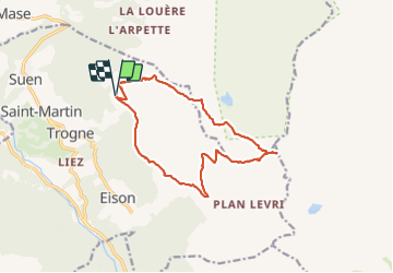
Trail Walking of 14.8 km to be discovered at Valais/Wallis, Hérens, Saint-Martin (VS). This trail is proposed by Leemans.
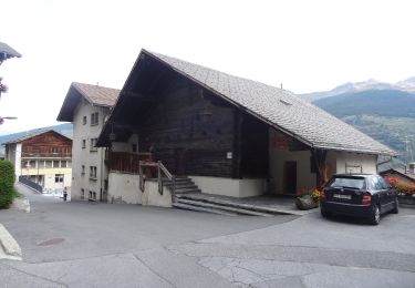
 - Trajet du 28.10.21 - Photo 1")
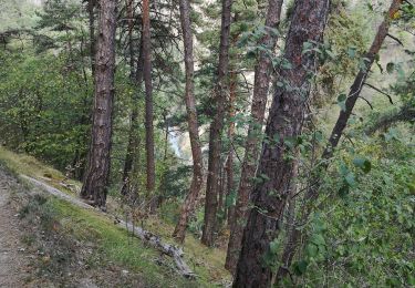
 - Trajet du 28.10.21 - Photo 2")
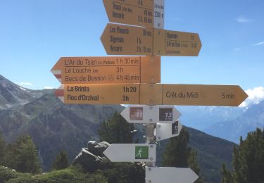
 - Trajet du 28.10.21 - Photo 3")
 - Trajet du 28.10.21 - Photo 4")
 - Trajet du 28.10.21 - Photo 5")
 - Trajet du 28.10.21 - Photo 6")

On foot
On foot

On foot

On foot
On foot
On foot
Nordic walking
Walking

Other activity